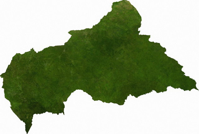
Файл:Satellite map of the Central African Republic.png

Розмір при попередньому перегляді: 800 × 539 пікселів. Інші роздільності: 320 × 216 пікселів | 640 × 431 пікселів | 1024 × 690 пікселів | 1280 × 862 пікселів | 1566 × 1055 пікселів.
Повна роздільність (1566 × 1055 пікселів, розмір файлу: 1,72 МБ, MIME-тип: image/png)
| Відомості про цей файл містяться на Вікісховищі — централізованому сховищі вільних файлів мультимедіа для використання у проектах Фонду Вікімедіа. |
ECW to TIFF to PNG (compression level 9).
| This file is in the public domain, because it was generated by a user, using free sources available at The Map Library.
Note that this does not include the maps in the Global Administrative Areas section of the homepage. |
Журнал завантажень локального файлу
| date/time | username | resolution | size | edit summary |
|---|---|---|---|---|
| 2006-07-13T03:41:14Z | User:Cwolfsheep | 1566×1055 | 1.72Gb | [[Wikipedia:ECW|ECW]] to [[Wikipedia:TIFF|TIFF]] to [[Wikipedia:PNG|PNG]] (compression level 9). {{PD-MapLibrary}} |
Історія файлу
Клацніть на дату/час, щоб переглянути, як тоді виглядав файл.
| Дата/час | Мініатюра | Розмір об'єкта | Користувач | Коментар | |
|---|---|---|---|---|---|
| поточний | 16:45, 6 липня 2009 | | 1566 × 1055 (1,72 МБ) | BetacommandBot | move approved by: User:Kintetsubuffalo This image was moved from File:Cenafrep sat.png ECW to TIFF to PNG (compression level 9). {{PD-MapLibrary}} [[Category:Maps of the Central African Re |
Використання файлу
Така сторінка використовує цей файл:
Глобальне використання файлу
Цей файл використовують такі інші вікі:
- Використання в af.wikipedia.org
- Використання в cs.wikipedia.org
- Використання в en.wikipedia.org
- Використання в ka.wikipedia.org
- Використання в mk.wikipedia.org
- Використання в pl.wikipedia.org
- Використання в sg.wikipedia.org
- Використання в tl.wikipedia.org
- Використання в zh.wikipedia.org