Файл:West Virginia Congressional Districts, 113th Congress.tif

Розмір цього попереднього перегляду PNG для вихідного TIF-файлу: 713 × 599 пікселів. Інші роздільності: 286 × 240 пікселів | 571 × 480 пікселів | 914 × 768 пікселів | 1219 × 1024 пікселів | 1347 × 1132 пікселів.
Повна роздільність (1347 × 1132 пікселів, розмір файлу: 404 КБ, MIME-тип: image/tiff)
| Відомості про цей файл містяться на Вікісховищі — централізованому сховищі вільних файлів мультимедіа для використання у проектах Фонду Вікімедіа. |
Опис файлу
| Опис |
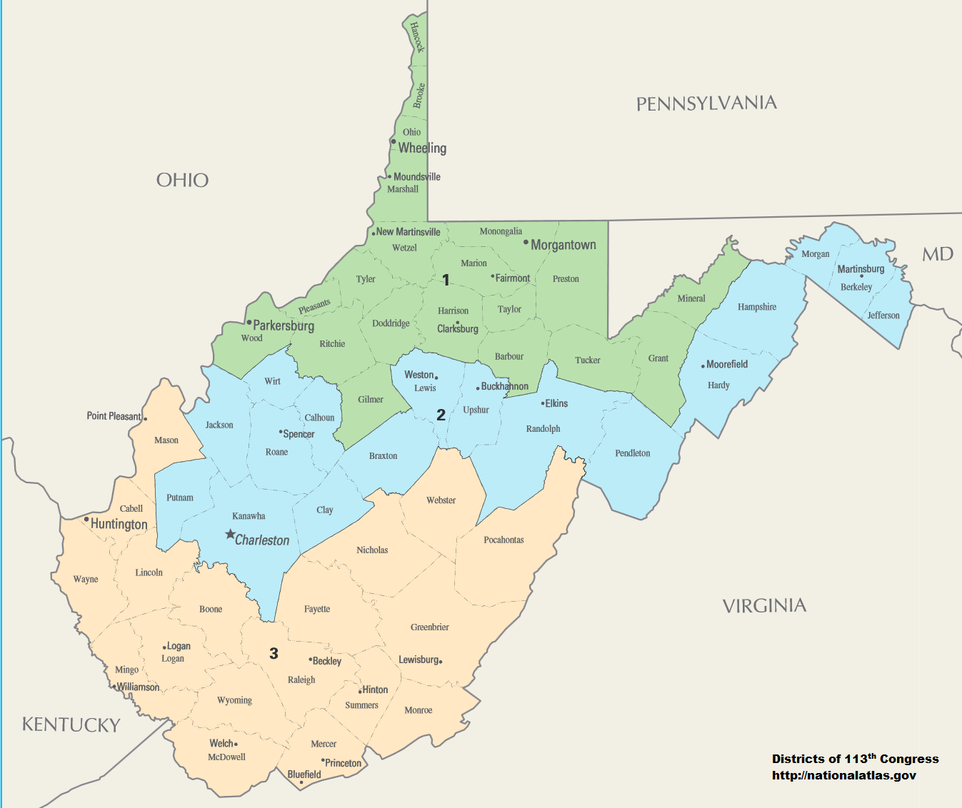
English: Map of Congressional Districts in the state of West Virginia, reflecting district boundaries current to the 113th United States Congress. |
| Час створення | |
| Джерело | National Atlas of the United States (http://nationalatlas.gov/printable/congress.html) |
| Автор | Department of the Interior |
| Ліцензія (Повторне використання цього файлу) |
This image is free information provided by the department of the interior. It was downloaded from http://nationalatlas.gov/printable/congress.html. All of that information has been provided in the captions, I'm not sure what other information is required. --7partparadigm talk 02:35, 8 February 2014 (UTC) |
Ліцензування
| This image or media file contains material based on a work of a United States Department of the Interior employee, created as part of that person's official duties. As a work of the U.S. federal government, such work is in the public domain in the United States. See the Department of the Interior copyright policy for more information. |  |
Історія файлу
Клацніть на дату/час, щоб переглянути, як тоді виглядав файл.
| Дата/час | Мініатюра | Розмір об'єкта | Користувач | Коментар | |
|---|---|---|---|---|---|
| поточний | 06:01, 2 лютого 2014 |  | 1347 × 1132 (404 КБ) | 7partparadigm | User created page with UploadWizard |
Використання файлу
Така сторінка використовує цей файл:
Глобальне використання файлу
Цей файл використовують такі інші вікі:
- Використання в fa.wikipedia.org
- Використання в it.wikipedia.org
- Використання в ru.wikipedia.org
- Використання в zh.wikipedia.org