Файл:South Sudan adm location map.svg

Повна роздільність (SVG-файл, номінально 1561 × 1133 пікселів, розмір файлу: 201 КБ)
| Відомості про цей файл містяться на Вікісховищі — централізованому сховищі вільних файлів мультимедіа для використання у проектах Фонду Вікімедіа. |
Опис файлу
| Опис |
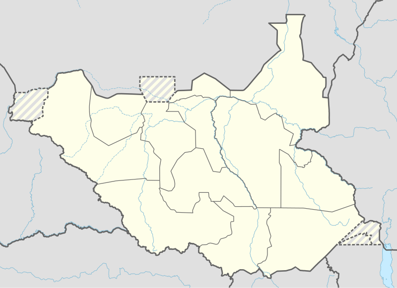
Deutsch: Positionskarte von Südsudan
English: Location map of South Sudan
|
||||||||||||
| Час створення | |||||||||||||
| Джерело |
Власний твір з використанням:
|
||||||||||||
| Автор | NordNordWest | ||||||||||||
| Інші версії |
|
||||||||||||
_adm_location_map.svg)
_adm_location_map.svg)


|
This map has been made or improved in the German Kartenwerkstatt (Map Lab). You can propose maps to improve as well.
|
Ліцензування
Usage of this file with:

explanatory notes: Legally binding is only the full legalcode. For a free usage I recommend to respect the following licence conditions:
1. Provide my name as given above: NordNordWest,
2. a copy of, or the URI for, the applicable license: https://creativecommons.org/licenses/by-sa/3.0/de/legalcode,
3. the title of the work,
4. in the case of an adaptation, a credit identifying the use of the work in the adaptation.
This license and the rights granted hereunder will terminate automatically upon any breach by you of the terms of this license. Any of the above conditions can be waived if you get permission from the copyright holder. If you have questions or wish differing conditions, please contact me through nnwest or my discussion page ![]() t-online.de
t-online.de
- Ви можете вільно:
- ділитися – копіювати, поширювати і передавати твір
- модифікувати – переробляти твір
- При дотриманні таких умов:
- зазначення авторства – Ви повинні вказати авторство, надати посилання на ліцензію і вказати, чи якісь зміни було внесено до оригінального твору. Ви можете зробити це в будь-який розсудливий спосіб, але так, щоб він жодним чином не натякав на те, наче ліцензіар підтримує Вас чи Ваш спосіб використання твору.
- поширення на тих же умовах – Якщо ви змінюєте, перетворюєте або створюєте іншу похідну роботу на основі цього твору, ви можете поширювати отриманий у результаті твір тільки на умовах такої ж або сумісної ліцензії.

Історія файлу
Клацніть на дату/час, щоб переглянути, як тоді виглядав файл.
| Дата/час | Мініатюра | Розмір об'єкта | Користувач | Коментар | |
|---|---|---|---|---|---|
| поточний | 18:25, 23 квітня 2020 | | 1561 × 1133 (201 КБ) | Leviavery | Added Pibor and Ruweng Administrative Areas |
| 16:16, 25 лютого 2020 |  | 1561 × 1133 (199 КБ) | Myrabert01 | Reverted to version as of 13:47, 25 February 2020 (UTC) South Sudan revert back to 10 States. https://www.aljazeera.com/news/2020/02/6-years-war-peace-finally-south-sudan-200223114919537.html | |
| 14:39, 25 лютого 2020 |  | 1561 × 1133 (213 КБ) | NordNordWest | Reverted to version as of 14:39, 13 August 2016 (UTC); no reason for this revert | |
| 13:47, 25 лютого 2020 |  | 1561 × 1133 (199 КБ) | Myrabert01 | Reverted to version as of 18:18, 12 November 2014 (UTC). South Sudan revert back to 10 States. | |
| 14:39, 13 серпня 2016 |  | 1561 × 1133 (213 КБ) | NordNordWest | corr | |
| 12:31, 12 серпня 2016 |  | 1561 × 1133 (214 КБ) | NordNordWest | upd, new states | |
| 18:18, 12 листопада 2014 |  | 1561 × 1133 (199 КБ) | NordNordWest | == {{int:filedesc}} == {{Information |Description= {{de|1=Positionskarte von Südsudan}} {{en|1=Location map of South Sudan}} {{Location map series N |stretching=101 |top=12.7 |bottom=3.2 |left=23.15 |right=36.4 }} |Source={{Own using}} * United States... |
Використання файлу
Такі сторінки використовують цей файл:
- Єй
- Єй (аеропорт)
- Їрол (аеропорт)
- Авейль
- Авейль (аеропорт)
- Акобо (аеропорт)
- Бентіу
- Бентію (аеропорт)
- Бор (Південний Судан)
- Бор (аеропорт)
- Вау
- Вау (аеропорт)
- Гогріал (аеропорт)
- Джуба
- Джуба (аеропорт)
- Каго Каджу (аеропорт)
- Капоета
- Капоета (аеропорт)
- Катастрофа Douglas DC-3 в аеропорту Румбек
- Катастрофа Ан-12 під Джубою
- Кваджок
- Кодок
- Малакаль
- Малакаль (аеропорт)
- Мариді
- Мариді (аеропорт)
- Німуле (аеропорт)
- Пачелла (аеропорт)
- Пібор (аеропорт)
- Рага (аеропорт)
- Рага (місто)
- Ренк (аеропорт)
- Румбек
- Румбек (аеропорт)
- Тондж
- Тондж (аеропорт)
- Торит (аеропорт)
- Торит (місто)
- Тумбура (аеропорт)
- Ямбіо (аеропорт)
- Шаблон:Карта розташування Південний Судан
- Модуль:Location map/data/Південний Судан
- Модуль:Location map/data/Південний Судан/документація
Глобальне використання файлу
Цей файл використовують такі інші вікі:
- Використання в ab.wikipedia.org
- Використання в af.wikipedia.org
- Використання в an.wikipedia.org
- Використання в av.wikipedia.org
- Використання в azb.wikipedia.org
- Використання в az.wikipedia.org
- Використання в be.wikipedia.org
- Використання в bg.wikipedia.org
- Використання в bn.wikipedia.org
- Використання в bs.wikipedia.org
- Використання в ceb.wikipedia.org
Переглянути сторінку глобального використання цього файлу.