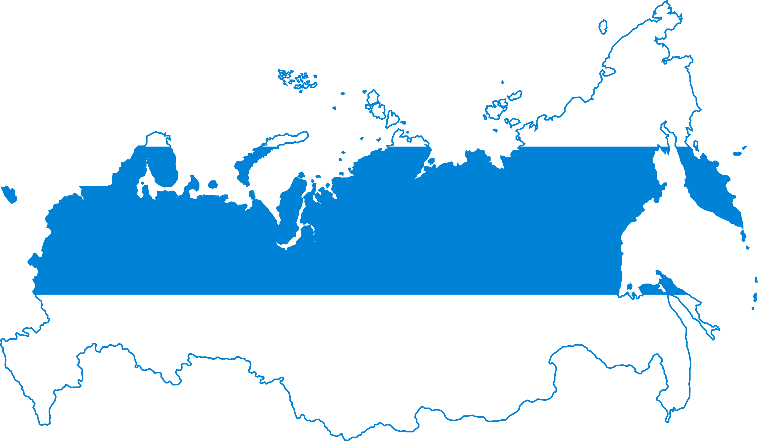
Файл:Flag-map of Russia (White-Blue-White).svg

Розмір цього попереднього перегляду PNG для вихідного SVG-файлу: 800 × 465 пікселів. Інші роздільності: 320 × 186 пікселів | 640 × 372 пікселів | 1024 × 595 пікселів | 1280 × 744 пікселів | 2560 × 1488 пікселів | 1039 × 604 пікселів.
Повна роздільність (SVG-файл, номінально 1039 × 604 пікселів, розмір файлу: 48 КБ)
| Відомості про цей файл містяться на Вікісховищі — централізованому сховищі вільних файлів мультимедіа для використання у проектах Фонду Вікімедіа. |
.svg)
Опис файлу
| Опис |
English: Flag-map of Russia (White-Blue-White) |
| Час створення | |
| Джерело | Власна робота & derivative of File:Flag of Russia (democratic).svg |
| Автор | Giorgi Balakhadze & others |
.svg)
Ліцензування
| Я, власник авторських прав на цю роботу, передаю роботу в суспільне надбання. Застосовується по всьому світу. У деяких країнах це не може бути юридично можливо, в такому випадку: Я даю кожному право на використання цієї роботи для будь-яких цілей, без будь-яких умов, якщо такі умови не вимагаються за законом. |
Історія файлу
Клацніть на дату/час, щоб переглянути, як тоді виглядав файл.
| Дата/час | Мініатюра | Розмір об'єкта | Користувач | Коментар | |
|---|---|---|---|---|---|
| поточний | 14:22, 4 січня 2023 | | 1039 × 604 (48 КБ) | Gleb Zajarski | You know what, I'll leave it at that. Even though it's not neutral, it's your picture, do what you want. I'll upload another one with the Kurils, if you don't mind. |
| 14:18, 4 січня 2023 |  | 1039 × 604 (48 КБ) | Gleb Zajarski | The Kuril Islands are not Crimea, they were not occupied AT THE TIME of the Russian Federation, hence it has nothing to do with Putin's policies. This flag is against Putin's policies, the Kurils were annexed during the USSR and this is a completely different country. | |
| 14:18, 4 січня 2023 |  | 1039 × 604 (48 КБ) | Gleb Zajarski | Reverted to version as of 12:06, 4 January 2023 (UTC) | |
| 14:16, 4 січня 2023 |  | 1039 × 604 (48 КБ) | Gleb Zajarski | This map should represent all residents of the Russian Federation. Now the Kuril Islands are part of Russia and people with Russian passports live there. Therefore they have the right to be represented on this map. I am not saying good or bad. But the map should not reflect the political views of some specific people. The map of the Russian Federation with a white-blue-white flag is the title of the image. If you want to publish a map without the Kurils, publish it, but add "without disputed... | |
| 12:06, 4 січня 2023 |  | 1039 × 604 (48 КБ) | Giorgi Balakhadze | This is not about Kremlin views, those 4 islands are Japanese sovereign territory | |
| 20:18, 3 січня 2023 |  | 1039 × 604 (48 КБ) | Gleb Zajarski | The map should represent all inhabitants of the Russian Federation who are against the war, counting the Kuril Islands. A return to the current borders of Russia, as erasing the islands is an unnecessary thing for this map. This is not a map of alternative history, but of contemporary realities. | |
| 13:53, 13 липня 2022 |  | 1039 × 604 (48 КБ) | Giorgi Balakhadze | fix: - Japanese Kurils | |
| 08:17, 10 березня 2022 |  | 1039 × 604 (48 КБ) | Giorgi Balakhadze | Uploaded own work with UploadWizard |
Використання файлу
Така сторінка використовує цей файл:
Глобальне використання файлу
Цей файл використовують такі інші вікі:
- Використання в en.wikipedia.org
- Використання в ru.wikipedia.org
.svg)